Sunday, July 5, 2009

4th of July Festivities

I hope your Fourth of July celebrations were great (and safe)! This weekend was especially memorable for me because I got my brand new Nikon D90 camera on Friday afternoon.

Naturally, I had to try it out.

I scribbled down the series of streets that would lead me to that secluded spot on the Palos Verdes peninsula (from a couple of posts back) on a piece of engineering paper and set out about 30 minutes 'til sunset. My plan was to get there with plenty of time to set up a great shot and break in the new camera with a spectacular sunset. As I headed up the hill I realized that the marine layer hadn't burned off and that the spot would be immersed in clouds - but there was a silver lining to this story. I set up the tripod anyway and stayed until dark to get the light trails I had been trying for last time.


*Note: the pic got cropped so click on it to see it in full. Same goes for every landscape picture posted thus far. I'll work on that.
--UPDATE-- The problem is fixed! Just had to modify the template CSS a bit :)

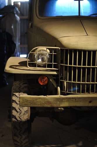
The next morning (the 4th of July, if you're keeping score at home) I picked up my friend Cori to meet our compadre Adrian and his amiga Jessica at Ft. MacArthur in San Pedro. There was a ceremony for the ringing of the Korean Friendship Bell (which we missed because they did it early) and several vintage vehicles were on display.

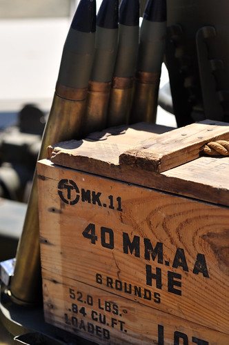


This is the same place dad and I went for Father's Day but we missed something. Dad and I saw the Korean Friendship Bell and the southern part of the installation but we had not ventured up to the battery itself. It was amazing. We went into the Osgood and Farley Battery and explored the history. This place would have kicked some serious butt had the enemy been foolish enough to try to roll into the Los Angeles harbor. Long story short: we learned some awesome stuff and saw 18 feet of a 50-foot 14-inch-shell-firing battleship-destroying planet-exploding evil-grin-inducing hulk of a gun that was installed at Ft. MacArthur during its glory days.


Well, that would have been enough fun for one day but it's the Fourth of July! This only comes about once every year, I think. Dad and I headed over to one of his coworker's fiesta and had a good time. Andrew came over after a little bit and when it started to get dark he and I made the executive decision to go to a hill near LAX to see the area fireworks. From this spot we could see fireworks displays from the Coliseum, Marina del Rey, the Hollywood Bowl, El Segundo, and tons of other private ceremonies. Andrew was kind enough to lend me his tripod for the fireworks.
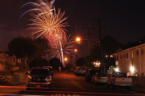
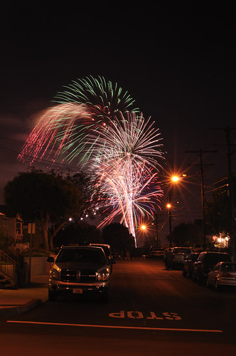
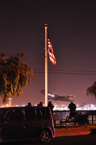


In other news: I <3 my new camera! Happy b-day, America. Live long and prosper.

Thursday, July 2, 2009

Millard Canyon and Mount Lowe

Yesterday featured another day hike with Andrew. This time we went to Millard Canyon in the San Gabriel Mountains above Altadena, California (34.21487,-118.147847 if you're interested). When Andrew and I were planning the hikes most piqued our interest, this hike shot up to the top due to its dramatic forested canyon (complete with running mountain spring water) and an abandoned mine at the end.

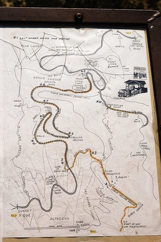
We had remembered reading in the reviews for this hike that it was a bit difficult to navigate without a map. Well, we didn't have a map of the area but there was a rudimentary map posted at the outset with, as it would seem, more historical significance than navigational usefulness. Well, I took a picture of the map (just in case) and this image, viewed on the 2.5 inch LCD display on my camera, saved our bacon so many times it's almost scary. Scary that we were very close to just walking away from it with nothing more than a mental image.


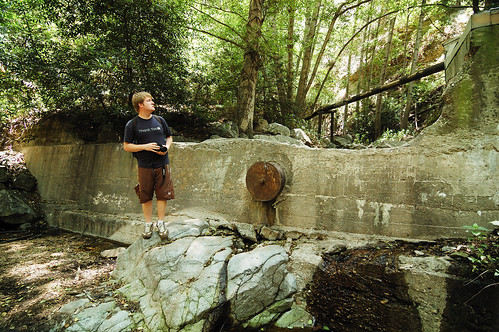
At any rate, off we went. The first portion was a fire road, which eventually caught up with Millard Canyon. At that junction followed the creek upstream. There were definitely signs of man, such as lengths of iron pipe and what appeared to be an old dam.


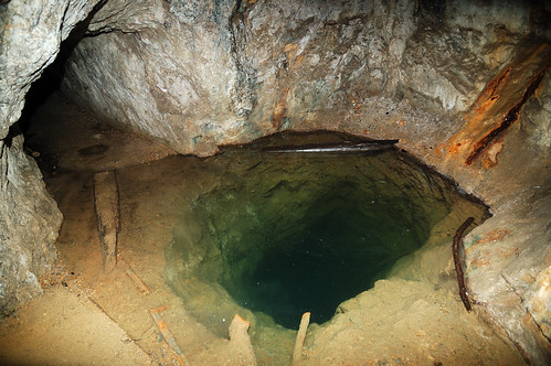
After a bit of boulder hopping, we took a small offshoot to a place that looked like storybook mine territory. Sure enough, after some searching, we found it. The entrance was obscured by a large boulder that had fallen in front, but it wasn't difficult to get into. After about 50 feet, the shaft opened up into a cavern which featured a large, very deep hole which I would not have liked to have fallen into.


A bit deeper we reached standing water that would end up being knee-deep. We took off our shoes and socks and waded through the shaft until we reached the point where the gold miners said 'screw it.'

Instead of hiking back down the canyon we decided to check out the old Mt. Lowe Railway. After a strenuous hike out of the canyon, we reached a more friendly trail where the old cable cars used to ferry people up to the Ye Alpine Tavern. The tavern, once a luxurious resort at the turn of the century, is now in ruins. We took a short break here and on our way out of the area we saw a giant black rattlesnake. It started rattling and I was thinking about trying for a picture but since I'm not Austin Stevens, I decided to give our friend all of the distance he needed.

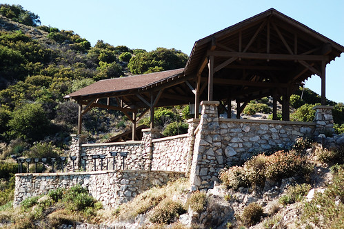
The trail from Ye Alpine Tavern to Inspiration Point had been graded for cable car use, but no tracks were laid due to insufficient funds. After a short jaunt, we reached Inspiration Point. This place was neat because it featured a "World Famous Telescope View" with many telescopes set up to point out specific locations in the Los Angeles basin as far away as Catalina Island. Of course, the haze made it nearly impossible to see past Pasadena.


We descended into Castle Canyon after taking a short break at Inspiration Point. The descent was very steep and taxing, but we eventually made it to another old cable car track. Before continuing, we checked out the Mount Echo, which served as the final stop of the Great Incline Funicular of the Mt. Lowe Railway. This place used to be grand, as seen in the following photo courtesy of Wikipedia, but it is now in ruins due to vandals and Mother Nature.


We followed the road to Sunset Ridge Trail which, coincidentally, we were on at sunset. The trail took us to the Millard campground and our circuit was complete. The hike was fantastic and it's really cool to know there is so much history and so many interesting things right in our backyard.

I'll leave you with an annotated map of our route, but in light of the details that cannot be seen, this would probably be a better place to check it out.


*UPDATE
A great source of information on the locations we visited in this hike can be found here.